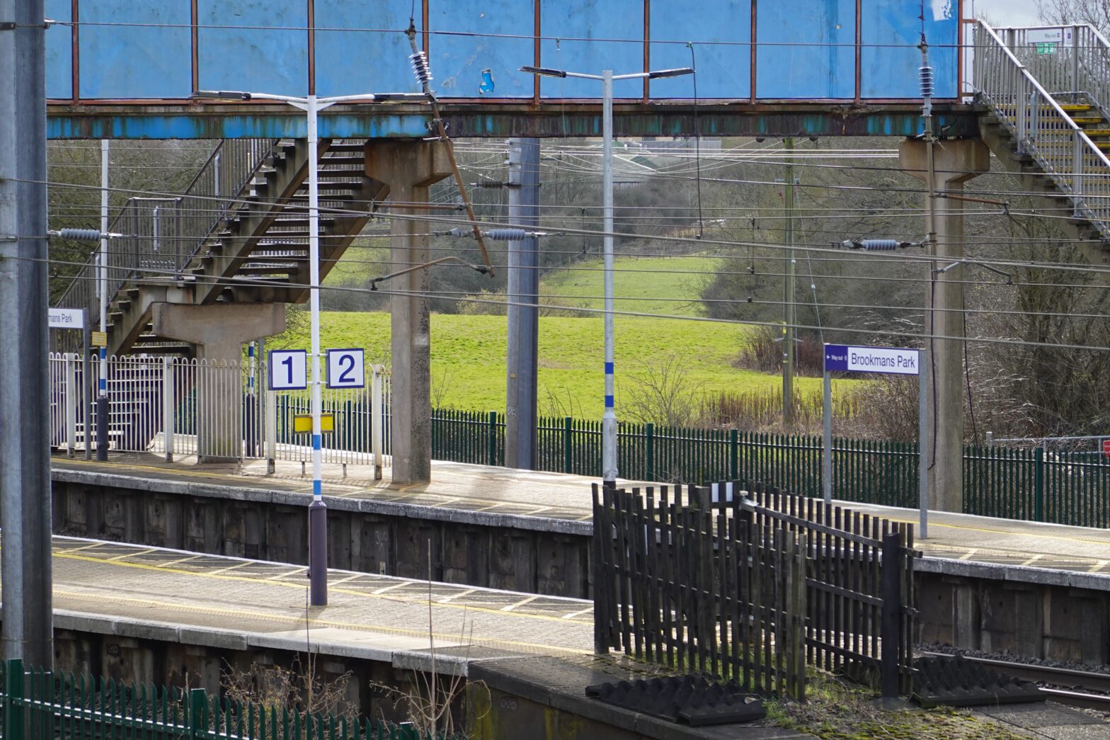
Network Rail runs around 20,000 miles of track, and more than 2,500 stations are along its length. Most of these are in rural settings, surrounded by open space or adjacent to low-density settlements, but some are within a short travel distance to the country’s largest towns and cities, which makes them perfect locations for people who want both a rural lifestyle and easy access to all of the amenities large cities offer.
Britain is notoriously poor at building rail capacity to serve its growing population. Many of the stations within easy reach of towns and cities are underused, with infrequent train services and low passenger numbers.
And yet we are also faced with a profound housing crisis, where increasing numbers of (mainly young) people are being priced out of the housing market and facing ever-increasing rental costs and precarious tenancies.
Given both the challenges and opportunities it makes sense, then, to consider how the intensification of the land in the immediate vicinity of rural stations might be utilised to deliver homes that we obviously, and desperately, need.
Using open-source mapping data we have undertaken an investigation into how much capacity there is around Britain’s stations to deliver new homes and social infrastructure. This has involved mapping every station in the England and establishing how much land around it might be used for development.
This is more than a geometrical exercise. There are considerable constraints on the development of rural land – some physical (the presence of existing buildings or waterways), some environmental (flood risk) and some political (green belt, national parks, areas of natural or ecological importance). These constraints have been considered, and we have done our best to omit the obvious ones from our calculations. We have steered clear of any areas within National Parks, but we consider the green belt to be fair game as this is an artificial construct which has very little to do with protecting areas of significant ecological value. Those parts of the country at risk of flooding have been avoided, as have public open spaces. We have respected areas of great landscape value (AGLV), sites of special scientific interest (SSSI) and ancient woodland. You can read our detailed methodology here.
A Note Regarding Density
Too much space in England is taken up by low-density, car-dependent housing development of limited quality (although the ratio of buildings to land is extremely small). The profligate use of land is not only wasteful, it embeds a mode of living which is unsustainable in a climate crisis. High density, walkable neighbourhoods with access to public transport and which encourage active travel are demonstrably better for mental and physical wellbeing, community cohesion and use less carbon.
A typical edge-of-town housing estate might achieve 15-20 dwellings per hectare (dph). At the very least we should be aiming for 40-60dph depending on other factors, such as social infrastructure (shops, schools, open space) and proximity to other settlements. New development on the scale that we propose will enable these things to be provided in places where they are currently not.
Whether the pandemic has had a significant long-term effect on commuting patterns remains to be seen. Public transport figures appear to be returning to pre-pandemic levels, although there is obviously a significant move toward hybrid working, with people choosing to work from home at least some of the week. Nevertheless, on the days when people do need to commute, proximity to a station which provides access to places of work will be vital for many.
To address this, we have proposed a range of densities depending on proximity to major population centres. It makes little sense to dump five thousand homes around a remote station two hours from the city. But where a station just half an hour away from a major city is surrounded by fields, we should be bold in proposing significant intensification.
Train timetables change, within the limitations of capacity on its railway line, so the existing frequency of service and travel time is not a particularly useful measure of accessibility (and this data is difficult to obtain in a consistent format). The number of passengers using a station, however, is. For the year preceding the pandemic, the busiest station in this list, by passenger numbers, was Gatwick Airport station with over 21 million entrances and exits. Some lesser-used stations had fewer than 100. Gatwick is an anomaly of course: six of the seven most used stations in this study serve airports, the exception being Shenfield, with 4.1m annual movements. To avoid these outliers, we’ve omitted stations serving airports from the data – assuming also that close proximity to an airport doesn’t make for a great quality of life for residents.
Using passenger data as an analogue for accessibility and proximity means we can peg our density ambitions against them. A simple ratio doesn’t work: even with 25dph as an average density, we’d end up with something approaching 1,500dph for Gatwick. Instead we’ve used a series of thresholds, as follows:
| Passengers / Year | Density |
|---|---|
| < 5,000 | 5 |
| 5,000 to 9,999 | 10 |
| 10,000 to 24,999 | 15 |
| 25,000 to 49,999 | 20 |
| 50,000 to 99,999 | 30 |
| 100,000 to 199,999 | 40 |
| 200,000 to 999,999 | 50 |
| 1,000,000+ | 75 |
As an example, Haydon Bridge in Northumberland, had 46,438 passengers pass through it in the period 2019-2020. It’s about an hour from Newcastle Central Station, and using these figures would attract development of some 20dph. Chingford, on the outskirts of London in Waltham Forest, had over 2 million passenger movements in the same year. It’s around half an hour from London Liverpool Street with trains every quarter of an hour. The above table proposes 75dph for new development around this station.
How Many Homes?
The maximum theoretical housing capacity around a station, based on 50 dwellings per hectare and a typical ten-minute walking distance (800m), is 10,000 homes. Numerous constraints, as described in the methodology section, reduce this figure. However, once these constraints are removed, the total area of land available for development is 43,233 hectares. At a density of 50 dwellings per hectare, this would result in 2.1 million homes. However, bearing in mind many of the stations are in remote locations, with existing infrastructure unlikely to support large new homes, an adjustment in accordance with the table above results in a total number of 1.2 million homes.
A simple sum of the available space around each station is very slightly misleading: some stations, particularly those around the edges of major cities, are closer than 800m and therefore parts of their potential development zones overlap. This overlapping area is very small, though – less than half a percent of the total area. For the purposes of these calculations, we’ve chosen to ignore this minor anomaly.
Some of the land identified for development falls within the green belt. This is inevitable. Green belt is an artificial planning construction which has little to do with the quality of open space, and everything to do with preventing urban expansion.
Yet, building 1.26 million homes around England’s rural stations would in fact only require the loss of 15,750ha of green belt. That sounds like a lot, but it’s less than 1% of the entire country’s supply (in fact, England’s green belt expanded by more than this between 2021 and 2022).
That’s a small price to pay for delivering four years’ entire supply of new homes.
Phenomenal piece of work. Love to discuss it and use of data sets with you
Jack Pringle
Chair RIBA Board
Thanks, Jack, would be more than happy to take you through the work in more detail. I’ll drop you a line under separate cover.
I thought this was extremely insightful. A wonderful piece of work that I would love to know more, Russell. Can we have a chat?
Hi Matt, thanks for the kind comments. Do you want to connect to me on LinkedIn and we can discuss further?
https://www.linkedin.com/in/russellcurtis
Hi Russell, it asks me to input an email address to connect. If easier, my profile is here: https://www.linkedin.com/in/matt-broad-74971b6a
Thanks, Matt, I’ve send a message via LinkedIn.
There are also lots of disused stations on existing lines and branch lines that could be re-opened and serve both new and existing housing. For example, Charfield in South Gloucestershire and Berkeley in Stroud district are two in my local area that would create better rail links for residents in those towns currently reliant on cars for transport.
Charfield station moving forward, despite unsuccessful bid to DfT’s Restoring Your Railway Ideas Fund: https://beta.southglos.gov.uk/charfield-train-station – planning application P22/05778/R3F before Strategic Sites Delivery Committee tomorrow 2nd March: https://council.southglos.gov.uk/ieListDocuments.aspx?CId=495&MId=16267&Ver=4
Really interesting piece of work. I have been looking to promote a ouple of stations that fill this criteria and know there are many more.
This is wonderful. I did a ‘highly commended’ paper for the Wolfson Economics Prize in 2014 which asked about the circumstances under which a garden town could be successful. It asked for possible locations for such a settlement. I focused on Cheddington in Bucks, which appeared to me to be a small village with a massively underused four platform station on the West Coast Main Line. Lovely to see it on your list, along with many other possible locations for sensible and sustainable settlement delivery.
Such a common sense approach to transport planning to facilitate new strategic housing developments and one which myself and my former colleagues have been making over the years. However, a national approach to housing developments based on locating near key transport nodes will be difficult to put into practice with the current planning system and local agenda’s. Until we adopt a national approach to house building I fear the status quo will continue.
Thanks for sharing this great piece of work. We’ve been developing something similar at Newcastle University, creating datasets of available land in Great Britain to prioritise development on various sustainability metrics (proximity to railway stations being one). An example from the Oxford Cambridge Arc is here: https://nismod.github.io/arc-udm-vis/
Would be great to chat to compare notes. Let me know how best to get in touch!
Thanks Alistair, you can find me on Linkedin or Twitter @russellcurtis – the latter might be the easiest way to get in touch?
This is really excellent. Working against a plan for new arterial road across south Oxfordshire designed largely to open up new land for housing. Two of the villages opposing this plan have train stations with very poor services. Plans for development in the villages were made partly on the basis of them being train stations, but now the plan is road road road….
Really interesting. Also liked the comment on introducing the Nations old railway lines into the equation . This could really go a long way to solving many problems. A lot of these locations could developed into their own central places with schools and shops and medical facilities.
Great work. If the settlements are designed to support active travel and cycling is safe and convenient option, the catchment can be doubled.
Really interesting piece of work Russell, with a very compelling figure popping out at the end. Worth looking at the land registry and starting to knock on some doors!?
We recently got permission at appeal for a green belt site 5 minutes walk from Little Chalfont – fits your brief exactly and secured an average density of 55dph.
We need lots more of these!
Thank you, Russell, for an excellent piece of work which is extremely useful. Focusing development on locations which already have good public transport must be they key to achieving the modal shift necessary to achive net zero. The RTPI Net Zero study says, ‘the mode share for walking and cycling must increase by 10% for short journeys and 6% for longer journeys, while the mode share for public transport must increase by 24% for short journeys and 14% for longer journeys.’ https://www.rtpi.org.uk/research/2020/june/net-zero-transport-the-role-of-spatial-planning-and-place-based-solutions/#_Toc61515506
ConnectedCites (www.ConnectedCities.org) proposes a very similar approach of developing around stations, and encourages Local Authorities to jointly plan their development as compact, high quality, walkable towns focused around existing and new railway stations to create integrated communities to support the new housing.
I will contact you via LinkedIn, as there may be many opportunites for collaboration.